28 Repositories
Latest Python Libraries

Automatic Calibration for Non-repetitive Scanning Solid-State LiDAR and Camera Systems
ACSC Automatic extrinsic calibration for non-repetitive scanning solid-state LiDAR and camera systems. System Architecture 1. Dependency Tested with U

Uncertainty-aware Semantic Segmentation of LiDAR Point Clouds for Autonomous Driving
SalsaNext: Fast, Uncertainty-aware Semantic Segmentation of LiDAR Point Clouds for Autonomous Driving Abstract In this paper, we introduce SalsaNext f

Fog Simulation on Real LiDAR Point Clouds for 3D Object Detection in Adverse Weather
LiDAR fog simulation Created by Martin Hahner at the Computer Vision Lab of ETH Zurich. This is the official code release of the paper Fog Simulation

Moving Object Segmentation in 3D LiDAR Data: A Learning-based Approach Exploiting Sequential Data
LiDAR-MOS: Moving Object Segmentation in 3D LiDAR Data This repo contains the code for our paper: Moving Object Segmentation in 3D LiDAR Data: A Learn

Fast and robust clustering of point clouds generated with a Velodyne sensor.
Depth Clustering This is a fast and robust algorithm to segment point clouds taken with Velodyne sensor into objects. It works with all available Velo
Transfer SemanticKITTI labeles into other dataset/sensor formats.
LiDAR-Transfer Transfer SemanticKITTI labeles into other dataset/sensor formats. Content Convert datasets (NUSCENES, FORD, NCLT) to KITTI format Minim

chen2020iros: Learning an Overlap-based Observation Model for 3D LiDAR Localization.
Overlap-based 3D LiDAR Monte Carlo Localization This repo contains the code for our IROS2020 paper: Learning an Overlap-based Observation Model for 3D

Self-supervised Point Cloud Prediction Using 3D Spatio-temporal Convolutional Networks
Self-supervised Point Cloud Prediction Using 3D Spatio-temporal Convolutional Networks This is a Pytorch-Lightning implementation of the paper "Self-s

Poisson Surface Reconstruction for LiDAR Odometry and Mapping
Poisson Surface Reconstruction for LiDAR Odometry and Mapping Surfels TSDF Our Approach Table: Qualitative comparison between the different mapping te

Range Image-based LiDAR Localization for Autonomous Vehicles Using Mesh Maps
Range Image-based 3D LiDAR Localization This repo contains the code for our ICRA2021 paper: Range Image-based LiDAR Localization for Autonomous Vehicl

SuMa++: Efficient LiDAR-based Semantic SLAM (Chen et al IROS 2019)
SuMa++: Efficient LiDAR-based Semantic SLAM This repository contains the implementation of SuMa++, which generates semantic maps only using three-dime

This is a package for LiDARTag, described in paper: LiDARTag: A Real-Time Fiducial Tag System for Point Clouds
LiDARTag Overview This is a package for LiDARTag, described in paper: LiDARTag: A Real-Time Fiducial Tag System for Point Clouds (PDF)(arXiv). This wo
The repo of the preprinting paper "Labels Are Not Perfect: Inferring Spatial Uncertainty in Object Detection"
Inferring Spatial Uncertainty in Object Detection A teaser version of the code for the paper Labels Are Not Perfect: Inferring Spatial Uncertainty in

This repository is an open-source implementation of the ICRA 2021 paper: Locus: LiDAR-based Place Recognition using Spatiotemporal Higher-Order Pooling.
Locus This repository is an open-source implementation of the ICRA 2021 paper: Locus: LiDAR-based Place Recognition using Spatiotemporal Higher-Order

A tool for automatically generating 3D printable STLs from freely available lidar scan data.
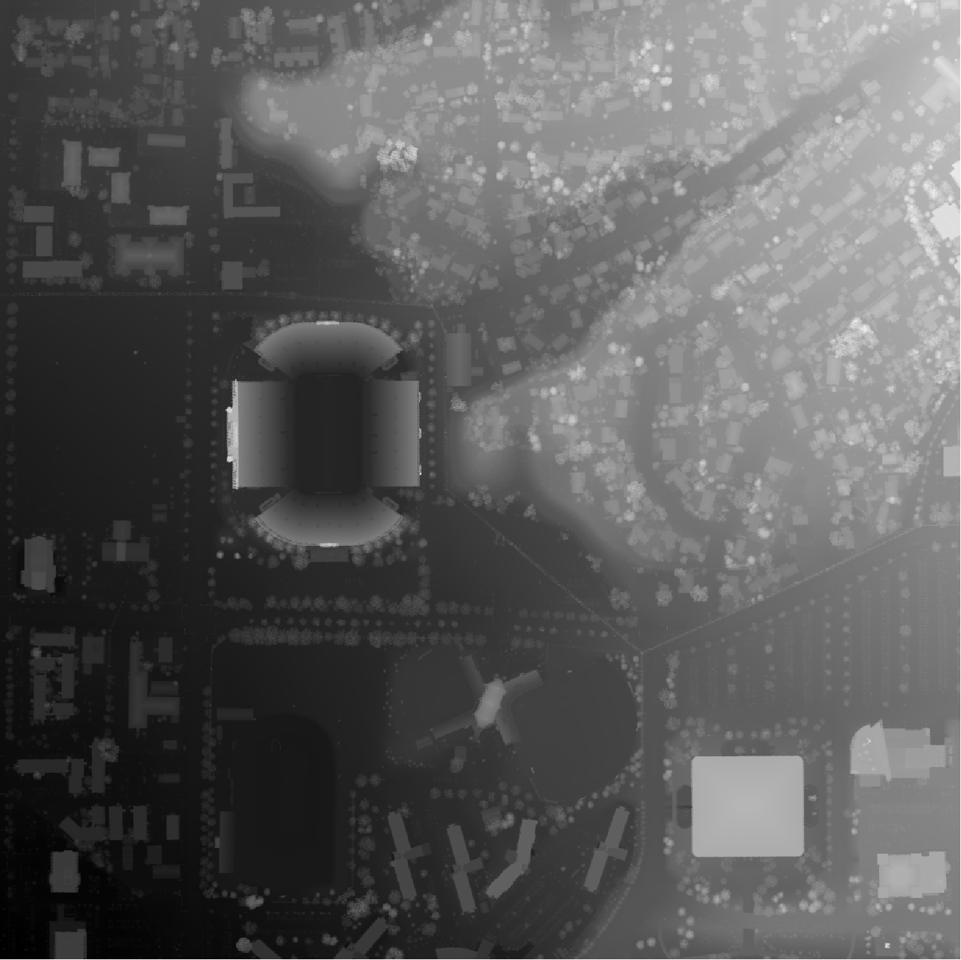
mini-map-maker A tool for automatically generating 3D printable STLs from freely available lidar scan data. Screenshots Tutorial To use this script, g
ArcGIS Python Toolbox for WhiteboxTools
WhiteboxTools-ArcGIS ArcGIS Python Toolbox for WhiteboxTools. This repository is related to the ArcGIS Python Toolbox for WhiteboxTools, which is an A
A Python package for delineating nested surface depressions from digital elevation data.
Welcome to the lidar package lidar is Python package for delineating the nested hierarchy of surface depressions in digital elevation models (DEMs). I
WhiteboxTools Python Frontend
whitebox-python Important Note This repository is related to the WhiteboxTools Python Frontend only. You can report issues to this repo if you have pr
An interactive GUI for WhiteboxTools in a Jupyter-based environment
whiteboxgui An interactive GUI for WhiteboxTools in a Jupyter-based environment GitHub repo: https://github.com/giswqs/whiteboxgui Documentation: http

Real-time LIDAR-based Urban Road and Sidewalk detection for Autonomous Vehicles 🚗
urban_road_filter: a real-time LIDAR-based urban road and sidewalk detection algorithm for autonomous vehicles Dependency ROS (tested with Kinetic and

PyTorch Implementation of PIXOR: Real-time 3D Object Detection from Point Clouds
PIXOR: Real-time 3D Object Detection from Point Clouds This is a custom implementation of the paper from Uber ATG using PyTorch 1.0. It represents the

Deep Surface Reconstruction from Point Clouds with Visibility Information
Data, code and pretrained models for the paper Deep Surface Reconstruction from Point Clouds with Visibility Information.

Scribble-Supervised LiDAR Semantic Segmentation, CVPR 2022 (ORAL)
Scribble-Supervised LiDAR Semantic Segmentation Dataset and code release for the paper Scribble-Supervised LiDAR Semantic Segmentation, CVPR 2022 (ORA

Part-Aware Data Augmentation for 3D Object Detection in Point Cloud
Part-Aware Data Augmentation for 3D Object Detection in Point Cloud This repository contains a reference implementation of our Part-Aware Data Augment

An implementation on "Curved-Voxel Clustering for Accurate Segmentation of 3D LiDAR Point Clouds with Real-Time Performance"
Lidar-Segementation An implementation on "Curved-Voxel Clustering for Accurate Segmentation of 3D LiDAR Point Clouds with Real-Time Performance" from
A general and strong 3D object detection codebase that supports more methods, datasets and tools (debugging, recording and analysis).
ALLINONE-Det ALLINONE-Det is a general and strong 3D object detection codebase built on OpenPCDet, which supports more methods, datasets and tools (de

SSL_SLAM2: Lightweight 3-D Localization and Mapping for Solid-State LiDAR (mapping and localization separated) ICRA 2021
SSL_SLAM2 Lightweight 3-D Localization and Mapping for Solid-State LiDAR (Intel Realsense L515 as an example) This repo is an extension work of SSL_SL

T-LOAM: Truncated Least Squares Lidar-only Odometry and Mapping in Real-Time
T-LOAM: Truncated Least Squares Lidar-only Odometry and Mapping in Real-Time The first Lidar-only odometry framework with high performance based on tr