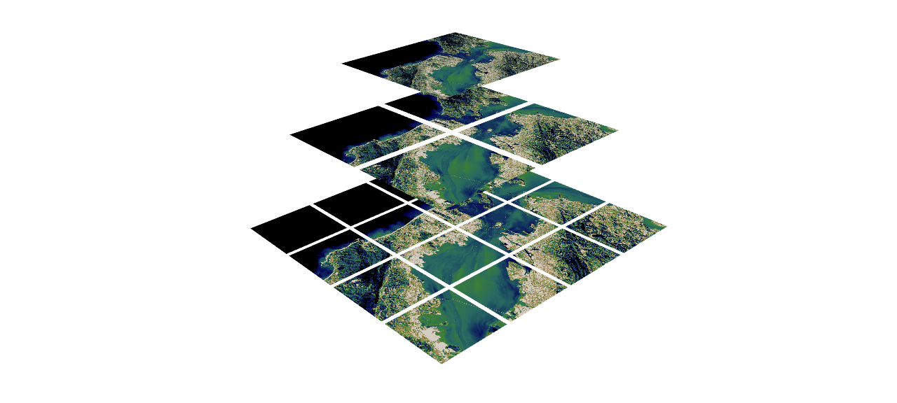
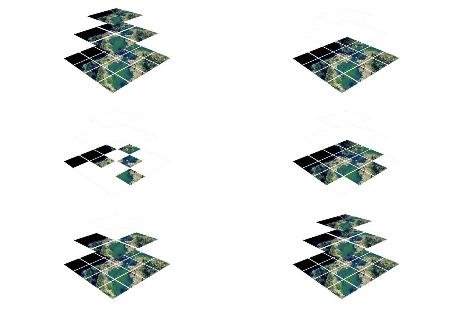
3D extension built off of shapely to make working with geospatial/trajectory data easier in python.

Overview

PyGeoShape

3D extension to shapely and pyproj to make working with geospatial/trajectory data easier in python.

Getting Started

Installation

pip

The easiest way to install PyGeoShape is by using pip:

pip install pygeoshape

source

To install the package from source, first clone the repository to a location of your choosing:

git clone https://github.com/marcbrittain/PyGeoShape.git

Then navigate to the directory:

cd PyGeoShape

Then install using pip (note: requires python 3.6+):

pip install -e .

Examples

The core focus of this repository is to make working with 3D geospatial/geographical data easier in python. Therefore, the core element of this repository is the GeoLineString (to start).

  1. GeoLineStrings

Roadmap

This project is very early on and is something that I am working on in my free time. Getting some of the initial functionality of GeoLineStrings like intersections and coordinate transformations was a first step, but there is a long way to go. Here I list some of the next major items that need to be addressed.

  • GeoLineStrings

    1. Handling heterogeneous intersection types (LineString, Point, etc.)
    2. Add function for distance calculation
    3. Add function for GeoLineString splits
    4. Optimize intersection function for efficiency
  • GeoPoint

    1. Port GeoLineString functionality to GeoPoint
  • Add additional Geo Types

    1. GeoMultiLineString
    2. GeoMultiPoint

Contributing

Contributions are always welcome. Please follow standard PEP-8 code format for contributions.

You might also like...
Rasterio reads and writes geospatial raster datasets

Rasterio Rasterio reads and writes geospatial raster data. Geographic information systems use GeoTIFF and other formats to organize and store gridded,

Summary statistics of geospatial raster datasets based on vector geometries.

rasterstats rasterstats is a Python module for summarizing geospatial raster datasets based on vector geometries. It includes functions for zonal stat

🌐  Local tile server for viewing geospatial raster files with ipyleaflet
🌐 Local tile server for viewing geospatial raster files with ipyleaflet

🌐 Local Tile Server for Geospatial Rasters Need to visualize a rather large raster (gigabytes) you have locally? This is for you. A Flask application

h3-js provides a JavaScript version of H3, a hexagon-based geospatial indexing system.

h3-js The h3-js library provides a pure-JavaScript version of the H3 Core Library, a hexagon-based geographic grid system. It can be used either in No

🌐 Local tile server for viewing geospatial raster files with ipyleaflet or folium

🌐 Local Tile Server for Geospatial Rasters Need to visualize a rather large (gigabytes) raster you have locally? This is for you. A Flask application

Calculate & view the trajectory and live position of any earth-orbiting satellite

satellite-visualization A cross-platform application to calculate & view the trajectory and live position of any earth-orbiting satellite in 3D. This

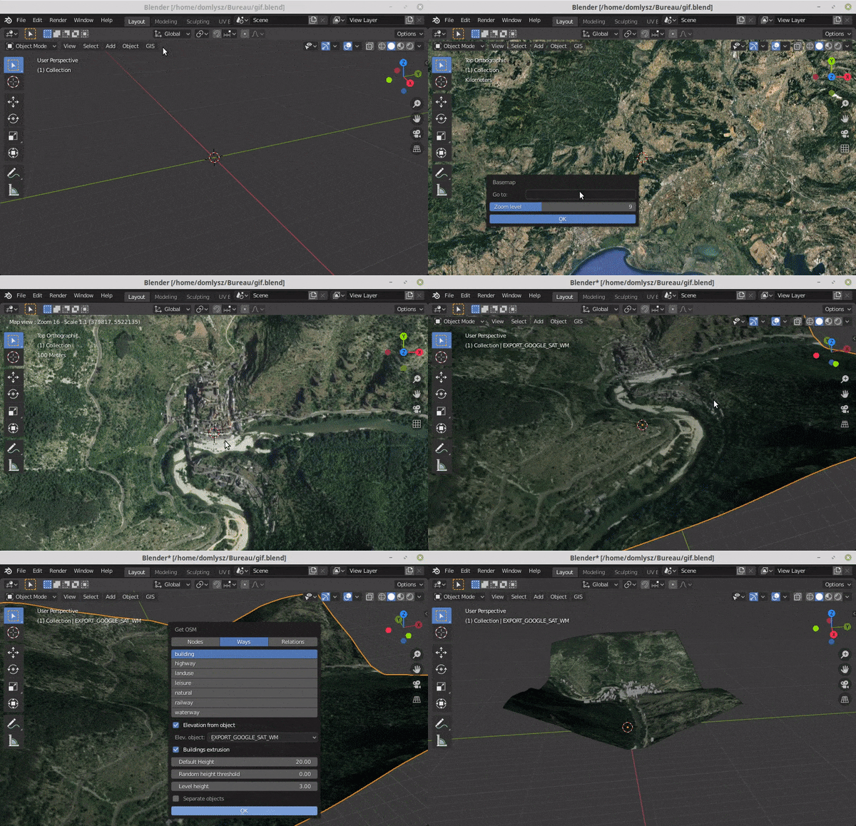
Blender addons to make the bridge between Blender and geographic data

Blender GIS Blender minimal version : 2.8 Mac users warning : currently the addon does not work on Mac with Blender 2.80 to 2.82. Please do not report

 An API built to format given addresses using Python and Flask.
An API built to format given addresses using Python and Flask.

An API built to format given addresses using Python and Flask. About The API returns properly formatted data, i.e. removing duplicate fields, distingu

A light-weight, versatile XYZ tile server, built with Flask and Rasterio :earth_africa:

Terracotta is a pure Python tile server that runs as a WSGI app on a dedicated webserver or as a serverless app on AWS Lambda. It is built on a modern

Releases(v0.0.4)
  • v0.0.4(Jan 9, 2022)

    What's Changed

    • update main to v0.0.4 by @marcbrittain in https://github.com/marcbrittain/PyGeoShape/pull/3

    Full Changelog: https://github.com/marcbrittain/PyGeoShape/compare/v0.0.3...v0.0.4

    Source code(tar.gz)
    Source code(zip)
  • v0.0.3(Jan 1, 2022)

    What's Changed

    • v0.0.3 by @marcbrittain in https://github.com/marcbrittain/PyGeoShape/pull/2

    Full Changelog: https://github.com/marcbrittain/PyGeoShape/compare/v0.0.2...v0.0.3

    Source code(tar.gz)
    Source code(zip)
Owner
Marc Brittain
MIT Lincoln Laboratory | Ph.D. | Deep Reinforcement Learning, Multi-Agent Systems
Marc Brittain
QLUSTER is a relative orbit design tool for formation flying satellite missions and space rendezvous scenarios

QLUSTER is a relative orbit design tool for formation flying satellite missions and space rendezvous scenarios, that I wrote in Python 3 for my own research and visualisation. It is currently unfinis

Samuel Low 9 Aug 23, 2022
A trivia questions about Europe

EUROPE TRIVIA QUIZ IN PYTHON Project Outline Ask user if he / she knows more about Europe. If yes show the Trivia main screen, else show the end Trivi

David Danso 1 Nov 17, 2021
Geocoding library for Python.

geopy geopy is a Python client for several popular geocoding web services. geopy makes it easy for Python developers to locate the coordinates of addr

geopy 3.8k Dec 30, 2022
This program analizes films database with adresses, and creates a folium map with closest films to the coordinates

Films-map-project UCU CS lab 1.2, 1st year This program analizes films database with adresses, and creates a folium map with closest films to the coor

Artem Moskovets 1 Feb 09, 2022
Python bindings to libpostal for fast international address parsing/normalization

pypostal These are the official Python bindings to https://github.com/openvenues/libpostal, a fast statistical parser/normalizer for street addresses

openvenues 651 Dec 16, 2022
Automated download of LANDSAT data from USGS website

LANDSAT-Download It seems USGS has changed the structure of its data, and so far, I have not been able to find the direct links to the products? Help

Olivier Hagolle 197 Dec 30, 2022
Creates 3D geometries from 2D vector graphics, for use in geodynamic models

geomIO - creating 3D geometries from 2D input This is the Julia and Python version of geomIO, a free open source software to generate 3D volumes and s

3 Feb 01, 2022
A toolbox for processing earth observation data with Python.

eo-box eobox is a Python package with a small collection of tools for working with Remote Sensing / Earth Observation data. Package Overview So far, t

13 Jan 06, 2022
This repository contains the scripts to derivate the ENU and ECEF coordinates from the longitude, latitude, and altitude values encoded in the NAD83 coordinates.

This repository contains the scripts to derivate the ENU and ECEF coordinates from the longitude, latitude, and altitude values encoded in the NAD83 coordinates.

Luigi Cruz 1 Feb 07, 2022
framework for large-scale SAR satellite data processing

pyroSAR A Python Framework for Large-Scale SAR Satellite Data Processing The pyroSAR package aims at providing a complete solution for the scalable or

John Truckenbrodt 389 Dec 21, 2022
Tool to suck data from ArcGIS Server and spit it into PostgreSQL

chupaESRI About ChupaESRI is a Python module/command line tool to extract features from ArcGIS Server map services. Name? Think "chupacabra" or "Chupa

John Reiser 34 Dec 04, 2022
Get Landsat surface reflectance time-series from google earth engine

geextract Google Earth Engine data extraction tool. Quickly obtain Landsat multispectral time-series for exploratory analysis and algorithm testing On

Loïc Dutrieux 50 Dec 15, 2022
Read images to numpy arrays

mahotas-imread: Read Image Files IO with images and numpy arrays. Mahotas-imread is a simple module with a small number of functions: imread Reads an

Luis Pedro Coelho 67 Jan 07, 2023
iNaturalist observations along hiking trails

This tool reads the route of a hike and generates a table of iNaturalist observations along the trails. It also shows the observations and the route of the hike on a map. Moreover, it saves waypoints

7 Nov 11, 2022
Extract GoPro highlights and GPMF data.

Python script that parses the gpmd stream for GOPRO moov track (MP4) and extract the GPS info into a GPX (and kml) file.

Chris Auron 2 May 13, 2022
Map Ookla server locations as a Kernel Density Estimation (KDE) geographic map plot.

Ookla Server KDE Plotting This notebook was created to map Ookla server locations as a Kernel Density Estimation (KDE) geographic map plot. Currently,

Jonathan Lo 1 Feb 12, 2022
Stitch image tiles into larger composite TIFs

untiler Utility to take a directory of {z}/{x}/{y}.(jpg|png) tiles, and stitch into a scenetiff (tif w/ exact merc tile bounds). Future versions will

Mapbox 38 Dec 16, 2022
Earthengine-py-notebooks - A collection of 360+ Jupyter Python notebook examples for using Google Earth Engine with interactive mapping

earthengine-py-notebooks A collection of 360+ Jupyter Python notebook examples for using Google Earth Engine with interactive mapping Contact: Qiushen

Qiusheng Wu 1.1k Dec 29, 2022
A proof-of-concept jupyter extension which converts english queries into relevant python code

Text2Code for Jupyter notebook A proof-of-concept jupyter extension which converts english queries into relevant python code. Blog post with more deta

DeepKlarity 2.1k Dec 29, 2022
Geospatial Image Processing for Python

GIPPY Gippy is a Python library for image processing of geospatial raster data. The core of the library is implemented as a C++ library, libgip, with

GIPIT 83 Aug 19, 2022