5 Repositories
Latest Python Libraries

High-level geospatial data visualization library for Python.
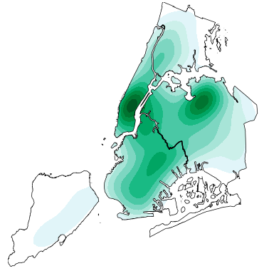
geoplot: geospatial data visualization geoplot is a high-level Python geospatial plotting library. It's an extension to cartopy and matplotlib which m

Course materials for: Geospatial Data Science
Course materials for: Geospatial Data Science These course materials cover the lectures for the course held for the first time in spring 2022 at IT Un
Satellite imagery for dummies.
felicette Satellite imagery for dummies. What can you do with this tool? TL;DR: Generate JPEG earth imagery from coordinates/location name with public

Streamlit Component for rendering Folium maps
streamlit-folium This Streamlit Component is a work-in-progress to determine what functionality is desirable for a Folium and Streamlit integration. C

Daily social mapping project in November 2021. Maps made using PyGMT whenever possible.
Daily social mapping project in November 2021. Maps made using PyGMT whenever possible.