7 Repositories
Latest Python Libraries

High-level geospatial data visualization library for Python.
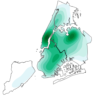
geoplot: geospatial data visualization geoplot is a high-level Python geospatial plotting library. It's an extension to cartopy and matplotlib which m

A Temporal Extension Library for PyTorch Geometric
Documentation | External Resources | Datasets PyTorch Geometric Temporal is a temporal (dynamic) extension library for PyTorch Geometric. The library
OSMnx: Python for street networks. Retrieve, model, analyze, and visualize street networks and other spatial data from OpenStreetMap.
OSMnx OSMnx is a Python package that lets you download geospatial data from OpenStreetMap and model, project, visualize, and analyze real-world street
Powerful, efficient particle trajectory analysis in scientific Python.
freud Overview The freud Python library provides a simple, flexible, powerful set of tools for analyzing trajectories obtained from molecular dynamics

peartree: A library for converting transit data into a directed graph for sketch network analysis.
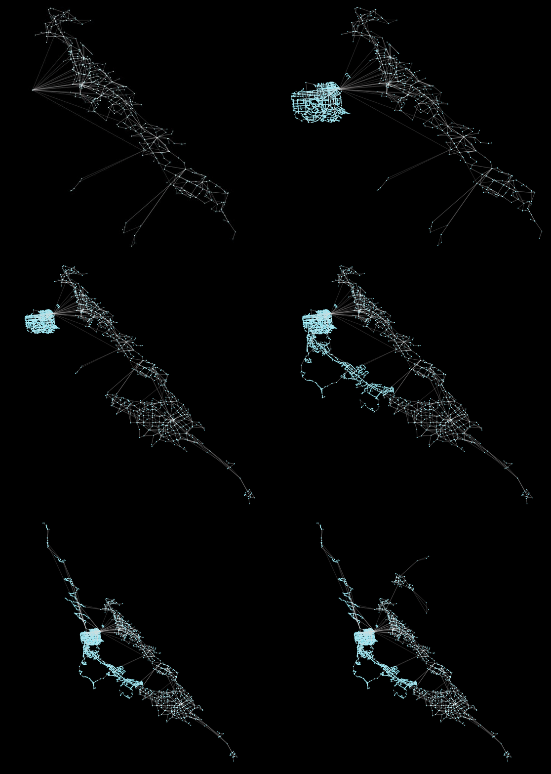
peartree 🍐 🌳 peartree is a library for converting GTFS feed schedules into a representative directed network graph. The tool uses Partridge to conve

Spatial Single-Cell Analysis Toolkit
Single-Cell Image Analysis Package Scimap is a scalable toolkit for analyzing spatial molecular data. The underlying framework is generalizable to spa

Raster-based Spatial Analysis for Python
🌍 xarray-spatial: Raster-Based Spatial Analysis in Python 📍 Fast, Accurate Python library for Raster Operations ⚡ Extensible with Numba ⏩ Scalable w